Maximum number of people per tour: 40
Tour length: více než 90 minut
16.05.2026 - 10:00
Note:
Guided tour on 16 May 2026, starting at 10.00 am.
náměstí SNP 33, Brno - Černá Pole
Transportation to location:on foot, by car public transport: tram no. 7, 9 - stop Fügnerova, Bieblova bus no. 57 - stop Fügnerova
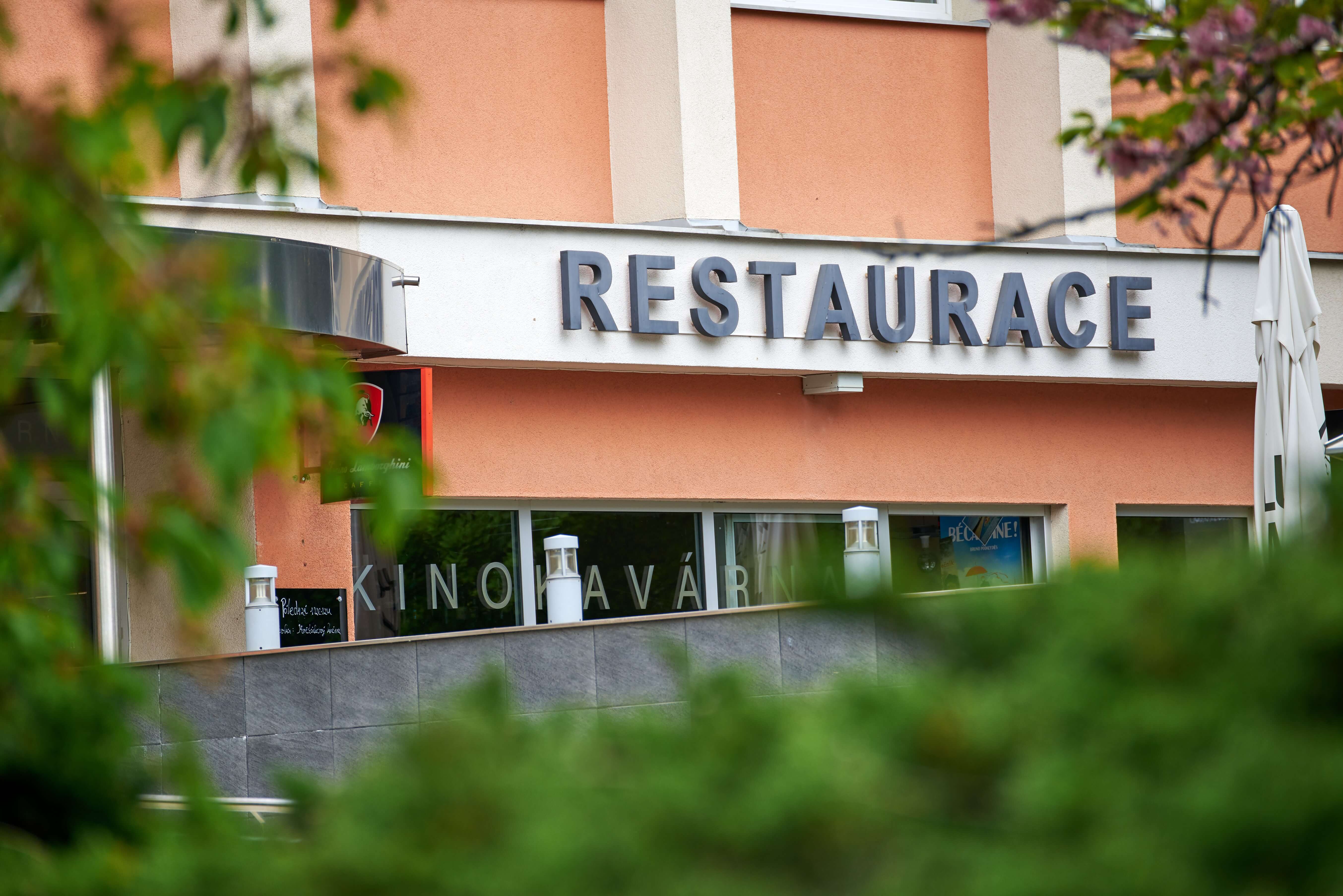
Meeting point:in front of Kinokavárna, by the commemorative plaque
Entry point:Nám. SNP - kinokavárna
Opening hours:16.05.2026 - 10:00 - 12:00
Barrier-free access
Suitable for children
Photography allowed
Dogs allowed
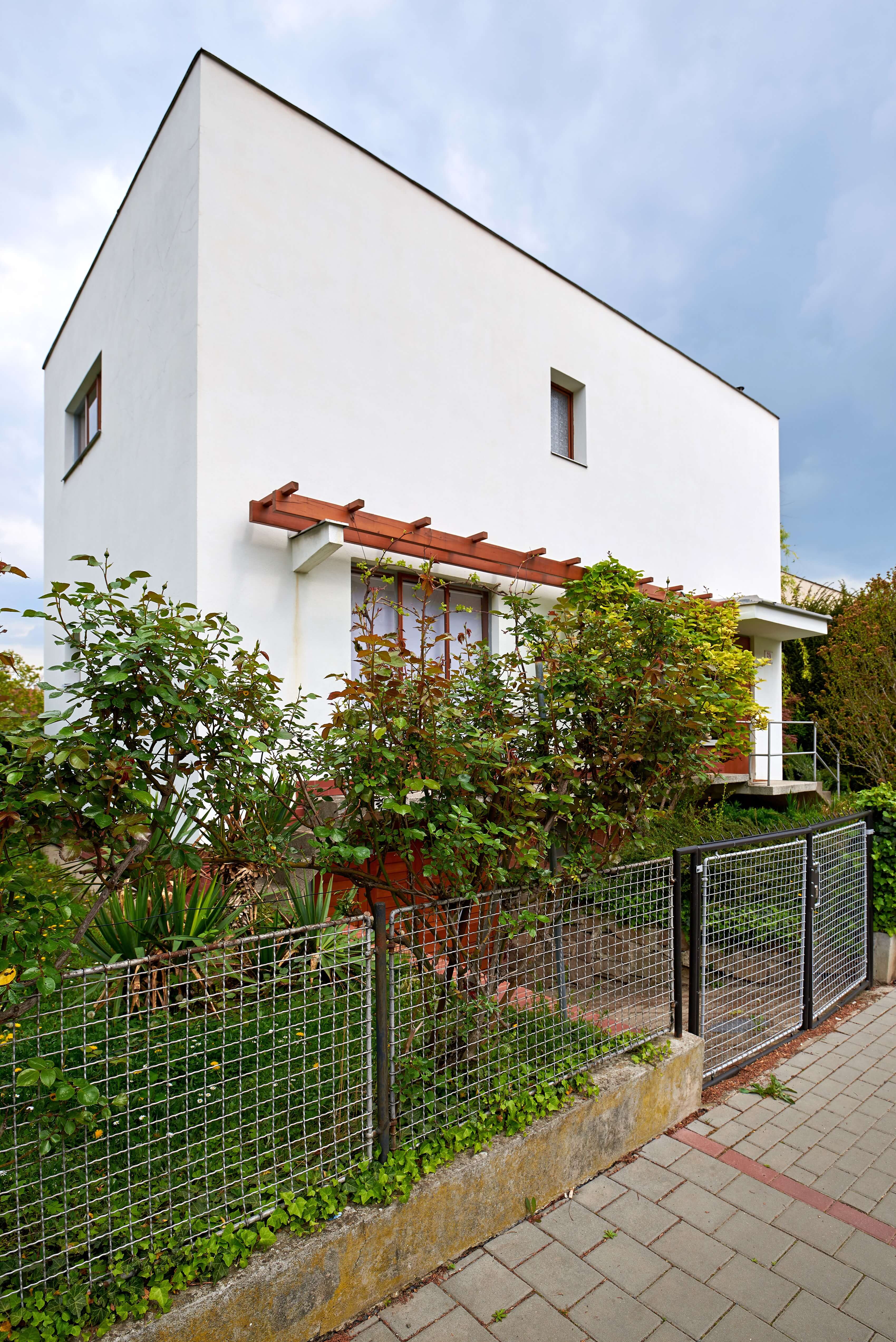
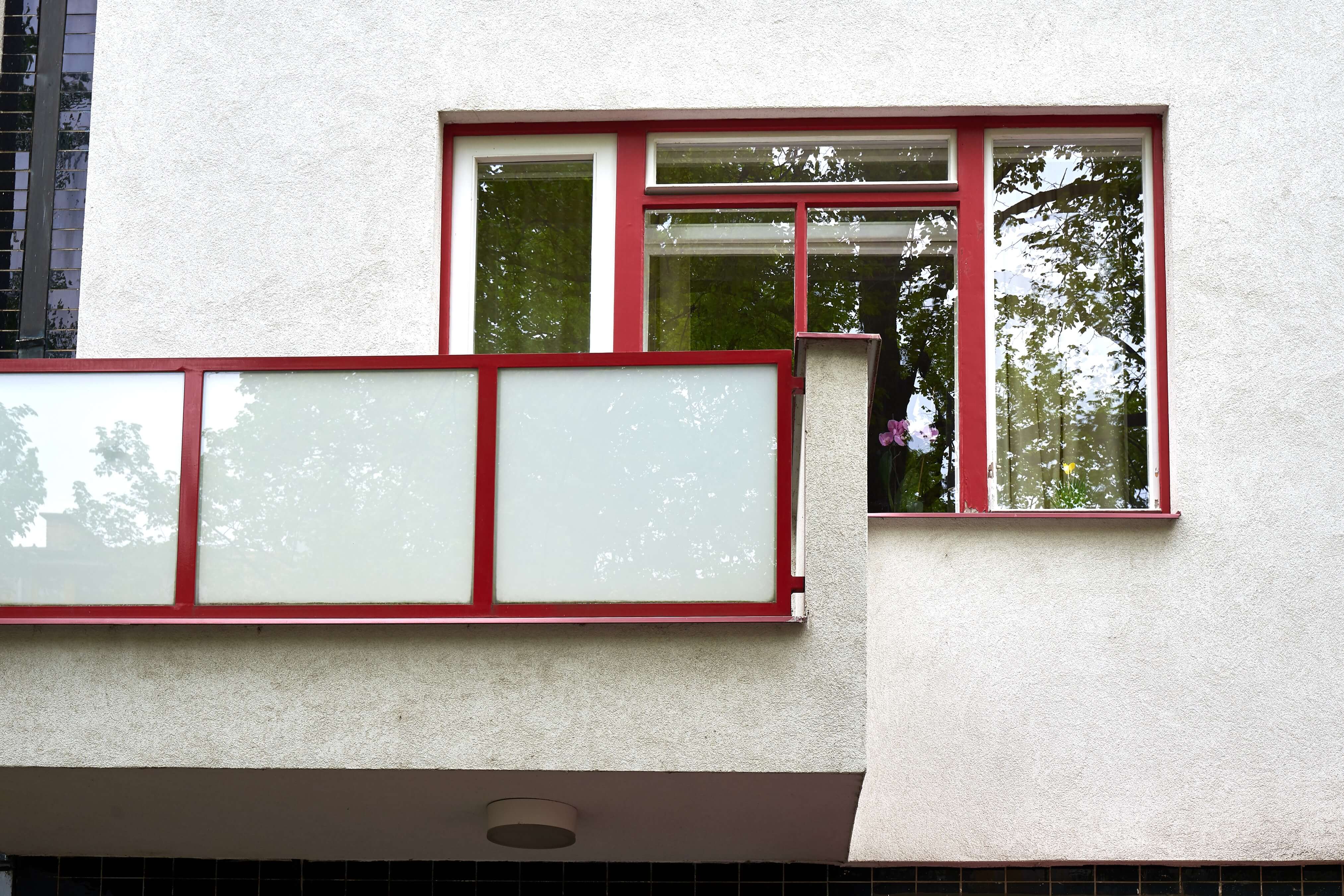
This guided walk explores the exteriors of the Štefánik Quarter, today part of Černá Pole. During the tour, guides will focus on Kuba’s family houses, the Kranz villas, cooperative housing developments, and the turbulent history of the former Kinokavárna cinema café, as well as the former poor settlement known as Krchov or “Farma”.
Unlike other parts of Černá Pole, the Štefánik Quarter was shaped by socialist-era construction and the presence of military barracks. It is a diverse and layered part of the district, marked by compelling stories and the varied fates of its residents.
After the incorporation of surrounding municipalities into so-called Greater Brno in 1919, the previously undeveloped agricultural land of Černá Pole began to be built up more intensively. Initially, family houses, villas and small rental properties were constructed to the north-east of the city centre, near the Brno–Tišnov railway line. In the 1920s, this relatively remote area developed into a distinct residential neighbourhood named Štefánik, after one of the founders of Czechoslovakia, Milan Rastislav Štefánik. (Today, the name refers to a much larger area that was originally separated by the railway.)
The railway line, which bordered Černá Pole from east to north, formed a physical barrier and caused the street network of this area to develop independently of neighbouring Husovice. The two districts were connected only by a single pedestrian underpass on what was then Nová Street (later Venhudova Street), or via a passage through Vranovská Street in the south, approaching from the Cejl area.
The villa-based Štefánik Quarter emerged in the 1920s in the north-western corner of the Husovice cadastral area, from which it was completely separated by the railway line to Tišnov. The railway also determined the shape of the district’s northern edge, now defined by Sládkova Street.
The tour is organised in cooperation with Helianthus – Institute for Culture and Education and is supported by the Brno-sever Municipal District.
For loading the interactive map, please click on the map area.
For loading the interactive map, please click on the map area.